Sunrise and sunset skies
Will tonight’s sunset be worth going out for? Below is a live forecast of how likely a colourful sunrise or sunset is anywhere in Ireland over the next four days, followed by how to read the signs yourself, adapted from Sryan Bruen’s e-book Mastering the Prediction of Sunrises and Sunsets, with his photographs. How well does it work?
Look back: score any past sunrise or sunset since 1940
The same rules run on ERA5, the European reanalysis of past weather, for any date from 1940 to about a week ago. Check how a sky you photographed would have been rated.
A projection from forecast model output only: no guarantee of a colourful sky. Read on to make your own call.
Daily forecasts on Instagram
Sryan Bruen posts forecasts for sunrises, sunsets and other sky phenomena in Ireland at @irishskiesforecasts, read by a forecaster rather than straight from the model. Recent posts:
How to predict a colourful sky
Why the sky turns red
Sunlight is scattered by the molecules of the air, and blue light far more than red. That is why the daytime sky is blue. When the sun is low, its light passes through much more air, the blue is scattered away along the path, and what reaches us is orange and red.
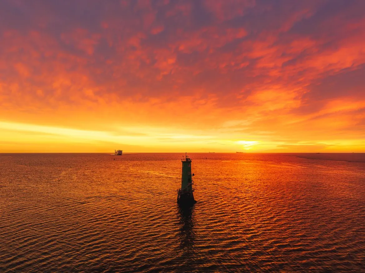
Clouds scatter all colours about equally, so by day they look white or grey. At sunrise and sunset, though, cloud at the right height catches that orange and red light and reflects it back down, and the whole sky can light up. The skill in predicting a good sky is mostly knowing which cloud, and where.
Which clouds light up
Height matters most. High and mid-level clouds stay in direct sunlight after the sun has set at ground level (and before it rises), so they glow while the land is in shadow. Low cloud is already in the earth’s shadow: it can flash red while the sun is still up, then turns grey within minutes.
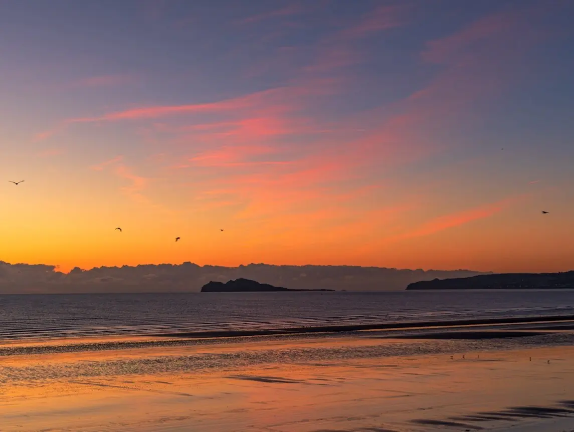
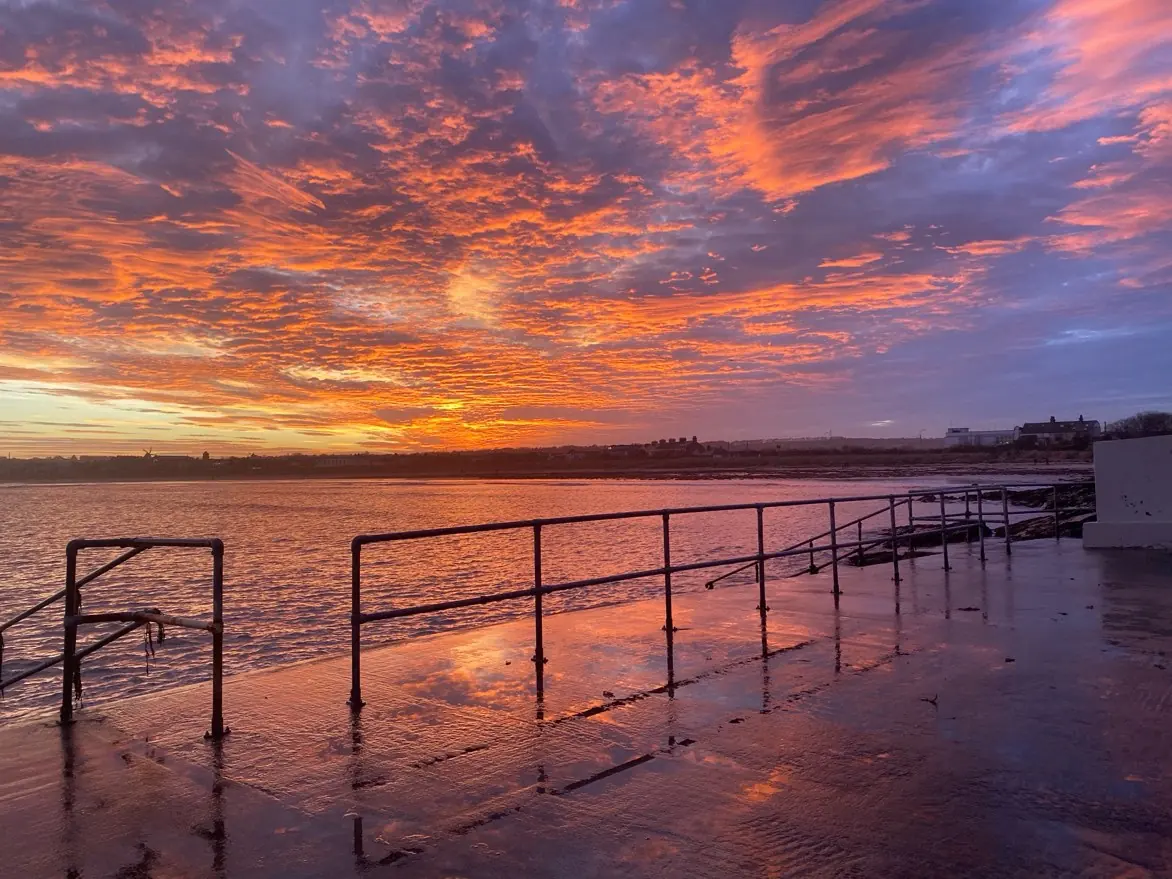
Mid-level cloud is the sweet spot: dense enough to reflect a lot of light, with strong contrast. Altocumulus and cirrocumulus, the rippled “mackerel sky”, give the most spectacular displays. Thin, wispy cirrus gives pastel pinks; streaky cirrus can go deep red. Too much high cloud is no good either: a thick sheet scatters the light so many times that the colours go muted.
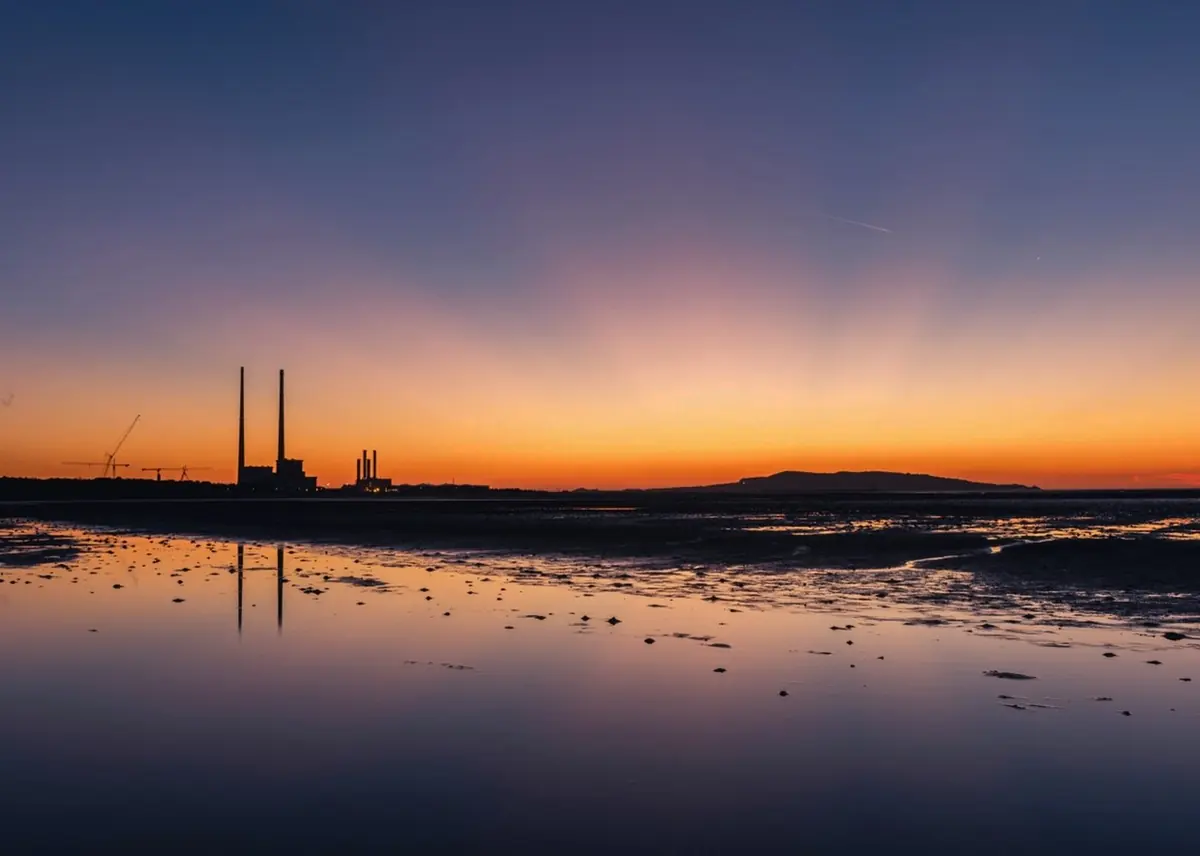
Colour can start up to an hour before sunrise and last up to an hour after sunset. The reddest light always comes when the sun is below the horizon, so arrive early and stay late.
The horizon is the gate
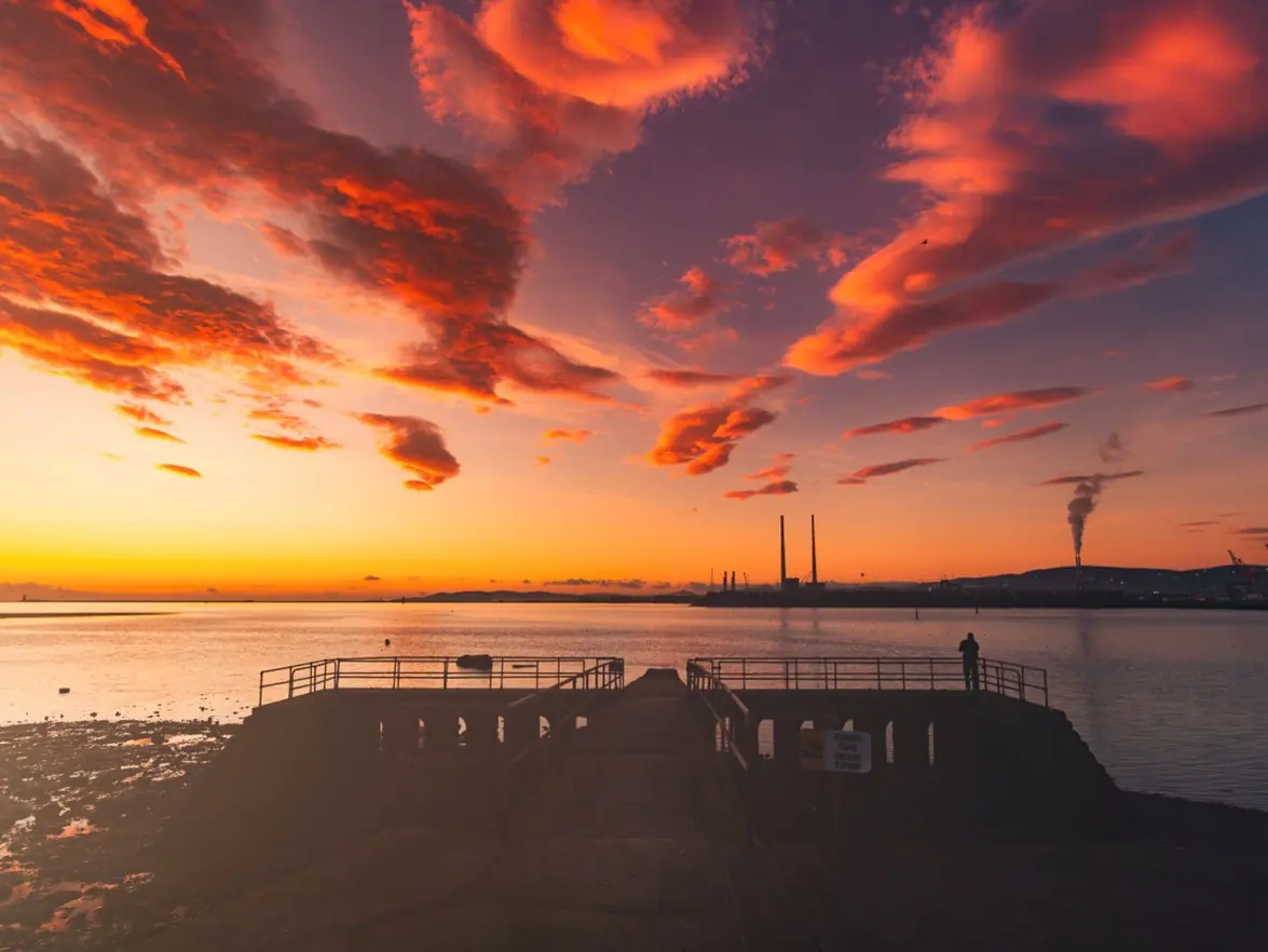
Even the best cloud stays dark if the sun cannot reach it. Look at the horizon in the direction of the sun: east at sunrise, west at sunset. If a bank of low cloud or the thick edge of a weather front lies there, the light is cut off before it can get underneath the cloud above.
This is why a sunset with high cloud spreading in from the west is usually poor: the sun sets into the thickening cloud of an approaching front, giving a milky, hazy horizon. The same front lying out west can give a superb sunrise the next morning if the eastern horizon is clear. On cold winter mornings, showery cloud often forms over the sea and blocks the eastern horizon on east-facing coasts.
Red sky at night, red sky in the morning
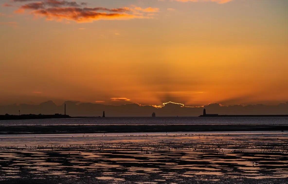
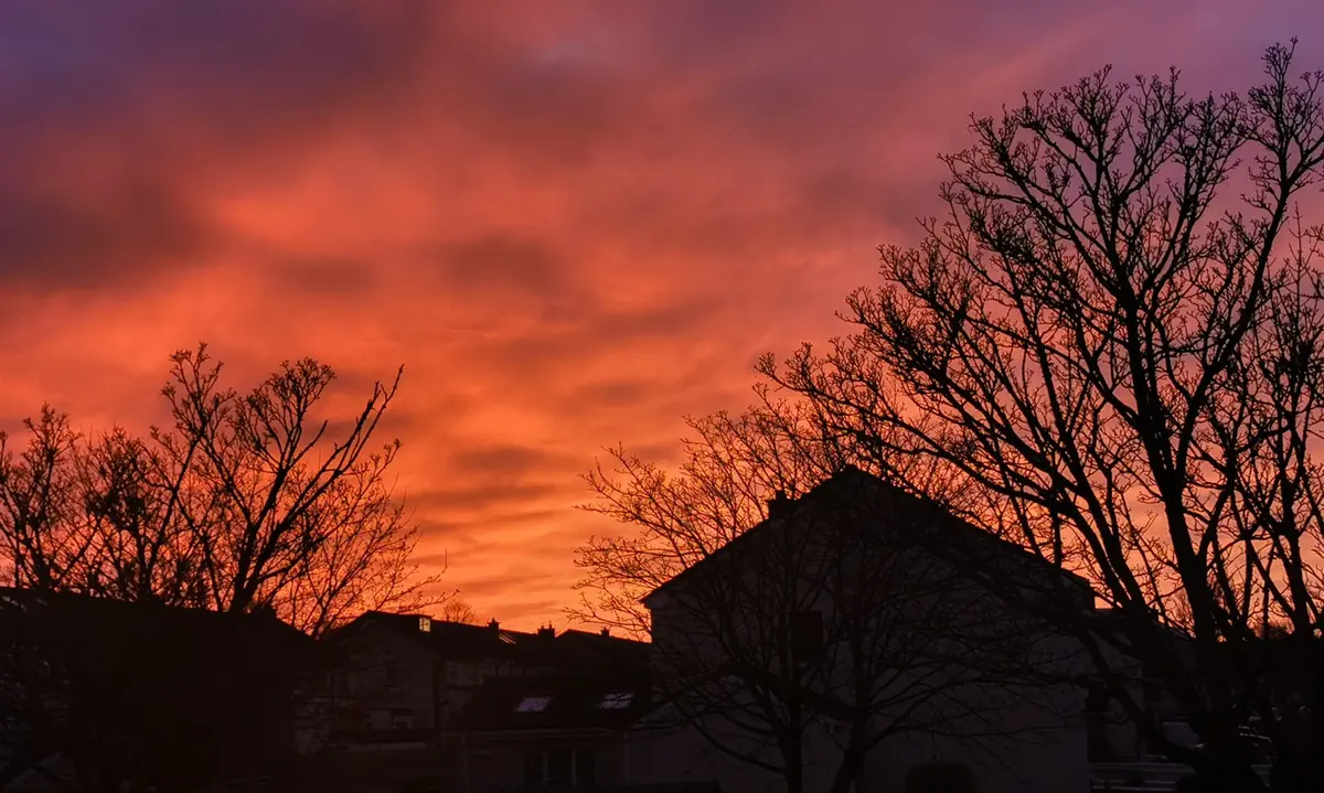
The old sayings have something in them. Ahead of a warm front coming in from the Atlantic, cloud spreads from the west: the eastern horizon is still clear at dawn while the cloud overhead catches the light, so a red sunrise often comes before rain: the sailor’s warning.
Behind a cold front, the cloud clears from the west, the air dries out and pressure rises. The trailing edge of the front lights up at sunset with a clear western horizon: the shepherd’s delight. Cold fronts are thinner and quicker than warm fronts, so this kind of sky is often local and brief. In between the fronts, in the damp, cloudy warm sector, there is rarely any colour at all.
Humidity and haze
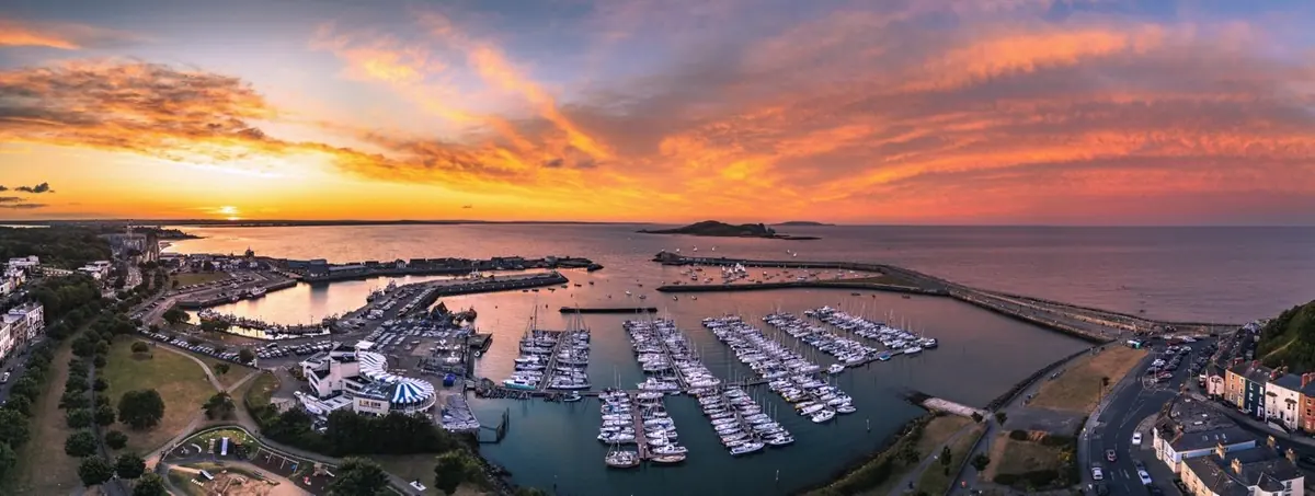
Water vapour and fine particles both scatter light in every direction, washing colour out. Dry air gives saturated, vivid skies; humid, hazy air gives milky ones. Summer is hazier on average than winter, so the most dramatic skies tend to come from late autumn to early spring, though there are exceptions both ways.
Sunrise often beats sunset for colour, because the air is cleaner after a cool, still night: during the day, heat stirs dust and pollution up into the air, and the western sky at sunset looks through more of it.
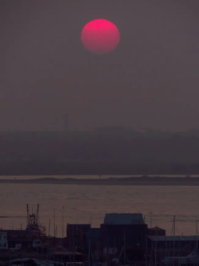
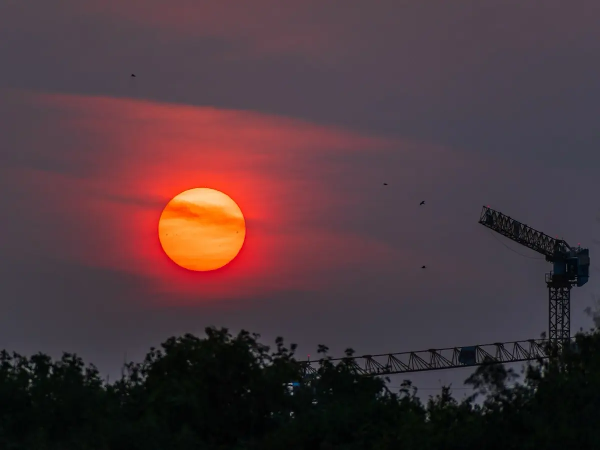
Haze has one upside: it dims the sun’s disc to orange, red or pink, which makes it much easier to photograph the sun lined up with a landmark. Saharan dust on southerly winds and smoke from distant wildfires can both turn the sun red.
What each wind direction brings
The wind direction tells you where the air has come from, and so how clean or hazy it is and what sort of cloud it carries.
| Wind | What to expect | Sunrise | Sunset |
|---|---|---|---|
| North | Cold, dry air with little cloud: both mostly clear. On east-facing coasts, showery cloud over the relatively mild sea often blocks the horizon on winter mornings. Leftover cumulus can give a short burst of colour at sunset. | Poor | Fair |
| North-east | Often a lid of grey stratus or stratocumulus off the Irish Sea, especially in summer. Colour needs a gap on the horizon, which is less likely at sunrise. | Poor | Fair |
| East | Drier continental air and sunny days, but haze builds if it lasts, especially when it backs south-east. Colour usually comes from thin, high cirrus in pastel tones. | Fair | Fair |
| South-east | The most pollution of any direction: milky skies, red and pink suns, and little colour. Sea fog can drift onto the south and east coasts in spring and summer. | Poor | Poor |
| South | Haze or Saharan dust, and mid-level instability ahead of fronts. A front out west spoils most sunsets, but winter sunrises can be fiery. | Good | Fair |
| South-west | The prevailing direction: clean Atlantic air, so few pollutants, but often a lot of cloud. A break, often in the lee of mountains, can give the most vivid skies of all. | Good | Fair |
| North-west | Showery polar air. Mostly clear between showers, but a shower clearing at sunset gives dramatic skies and bright, low-sun rainbows. | Fair | Good |
The usual outcome for each wind direction. Any particular day can differ.
High pressure, fog and inversions
Under a high, the wind is light and variable. A high building in from the Atlantic often brings some cloud at first, and with it good skies; as it lingers the cloud dries out and the skies go blank, and haze builds day by day, especially on easterly or south-easterly winds.
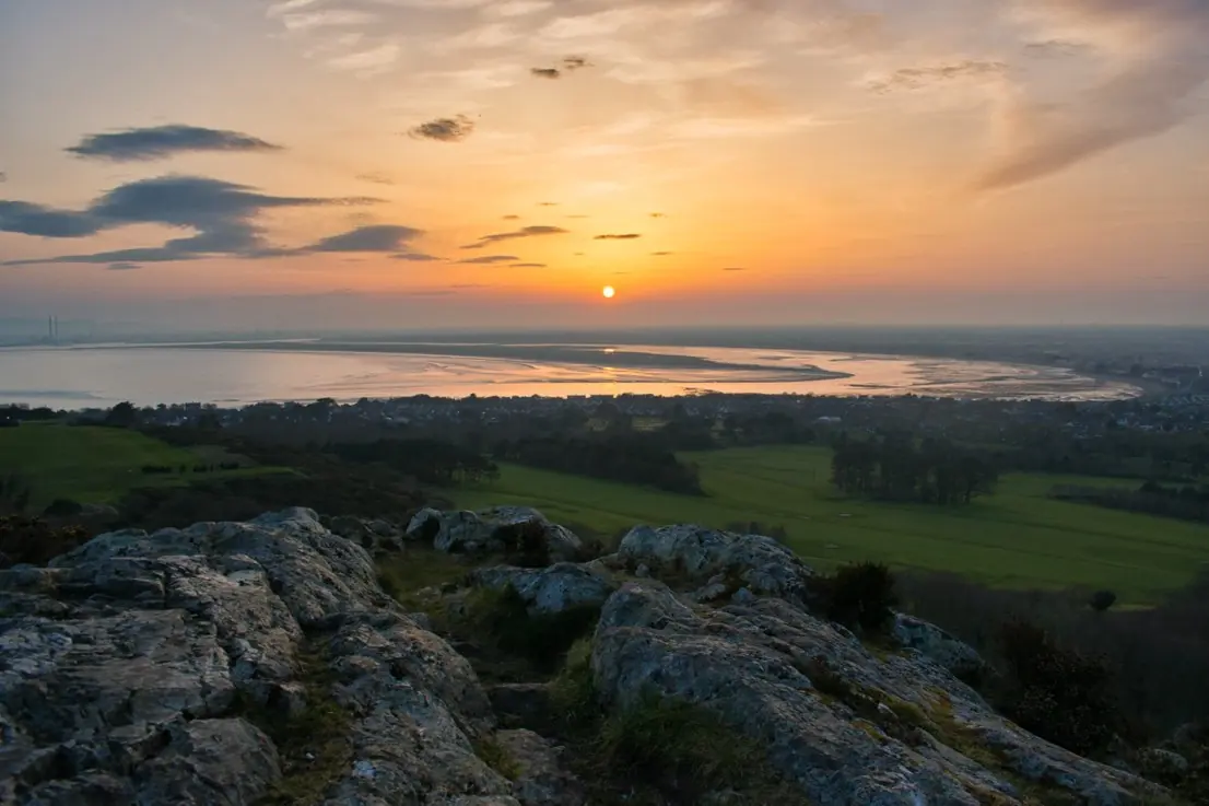
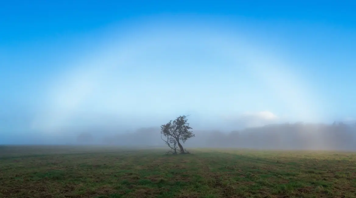
On cold, calm nights fog forms in valleys and low ground and, in winter, can last all day under an inversion. From a hill above it you can look down on a sea of cloud. Thin mist dims the sun like haze, and opposite the sun you may see a white fogbow.
Volcanic skies
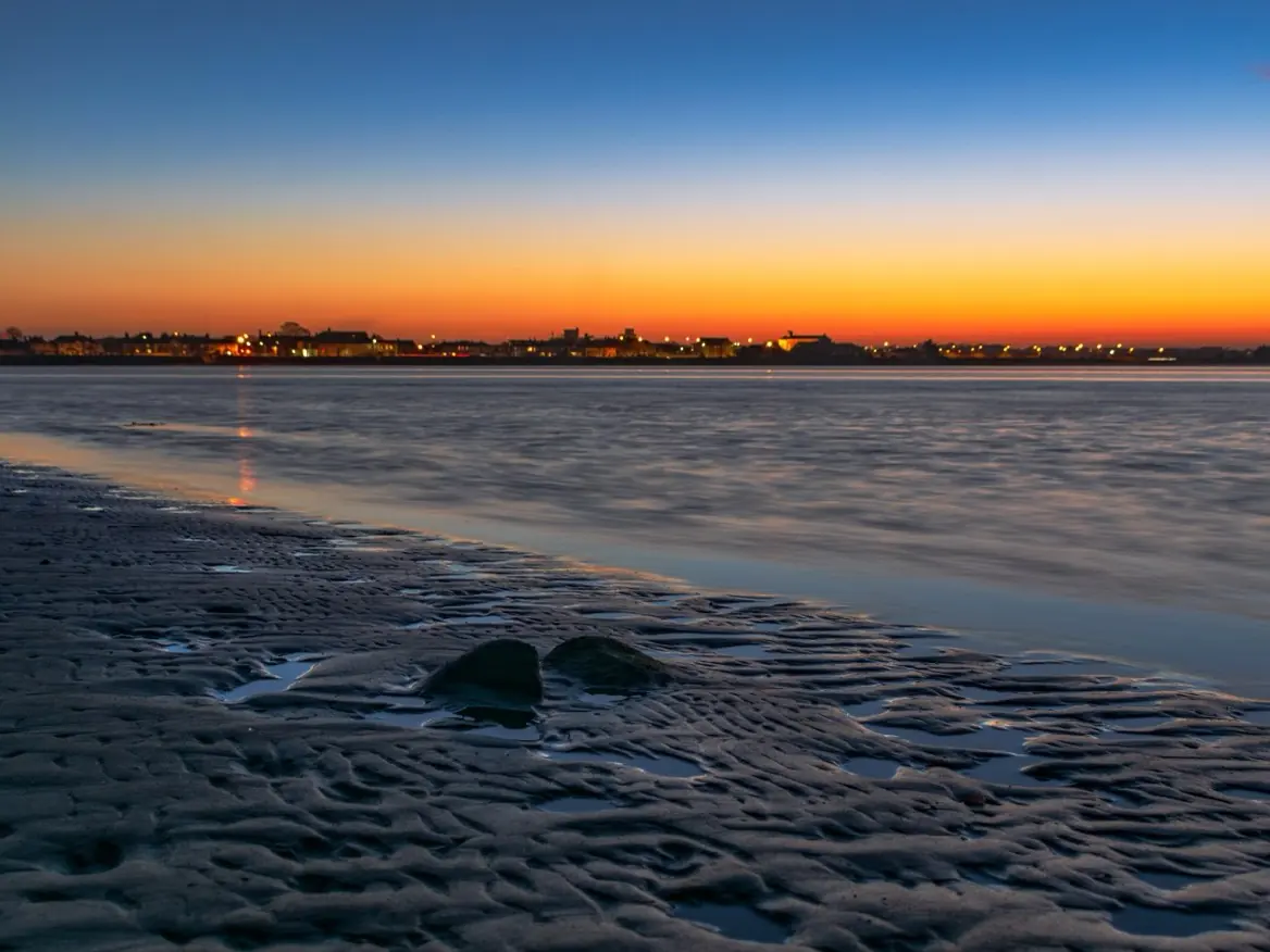
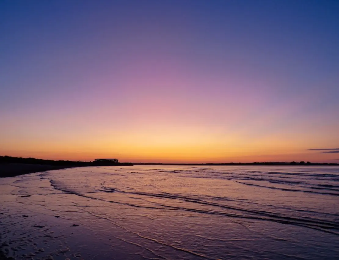
A big volcanic eruption can put sulphur aerosols high into the stratosphere, where they spread round the hemisphere for months. They make colourful skies more frequent and, most strikingly, turn an ordinary clear twilight into vivid red and purple, often around half an hour after sunset.
After the Raikoke eruption in Russia in June 2019, Ireland had months of unusually vivid twilights. Such skies can occasionally appear by chance without an eruption, so a clear evening is always worth a look.
Rays, pillars, halos and rainbows
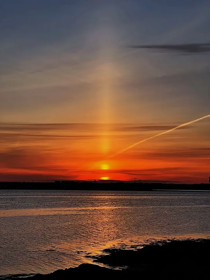
Crepuscular rays are beams of sunlight and shadow made visible by haze and dust, most vivid when the sun is just below the horizon or behind a bank of cloud. Sun pillars are vertical shafts of light reflected off flat ice crystals in high cloud when the sun is low. Halos and sun dogs, 22 degrees from the sun, come from the same ice-crystal cloud, often ahead of a front.
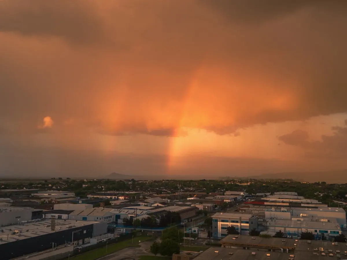
A rainbow needs the sun behind you and rain in front of you, and the lower the sun, the higher and more dramatic the bow; at sunset it can turn almost wholly red. On misty mornings, light breaking through the trees gives what the Japanese call komorebi.
How the forecast on this page works
For four days ahead, the page fetches the latest ECMWF model forecast of low, mid and high cloud, humidity, wind and rain, and the CAMS forecast of haze (aerosol optical depth) and dust, for a grid of 90 points over Ireland and the surrounding sea. It works out the time and compass direction of sunrise and sunset everywhere, and then scores each place:
Horizon clarity: low cloud towards the sun, at the spot and about 70 km out. Cloud to catch the light: a broken layer of mid or high cloud scores highest, a clear sky moderately (a golden horizon but no fiery sky) and a solid sheet low. Afterglow: mid and high cloud on the far side of the sky. Each is weighed by how clear the horizon is, then adjusted for humidity, haze, the wind direction (as in the table above), fog and rain.
A forecast model cannot place every break in the cloud, and the grid is coarse, about 55 km between points, so a single valley or headland will not be captured. A low score means unlikely, not impossible. As the book says, a forecaster who reads the charts and satellite pictures will almost always beat the raw model.
Data: ECMWF IFS and Copernicus CAMS forecasts via Open-Meteo, fetched by your browser. Method and photographs: Mastering the Prediction of Sunrises and Sunsets by Sryan Bruen.
More: Explanations · Sunrise, sunset and day length · Photographer’s weather · Satellite picture for any date